
New Yorks fünf Stadtbezirke - von der Freiheitsstatue bis zur Bronx
New Yorks fünf Stadtbezirke - von der Freiheitsstatue bis zur Bronx: eine fertige Reiseroute mit 8 Stopps von Staten Islund Ferry nach Times Square, etwa 68 km. Verwandle sie mit wenigen Klicks in ein animiertes Reisekartenvideo.

Reiseroute
1. Staten Islund Ferry
Boot · ≈ 5.6 km · 10 min
2. Statue of Liberty
Boot · ≈ 3.4 km · 6 min
3. Wall Street
Auto · ≈ 1.2 km · 1 min
4. Brooklyn Bridge
Auto · ≈ 15 km · 10 min
5. Coney Island
Auto · ≈ 23 km · 15 min
6. Flushing Meadows
Auto · ≈ 11 km · 7 min
7. Yankee Stadium
Auto · ≈ 9.4 km · 6 min
8. Times Square

Unterwegs
Fotos, die während der Fahrt zwischen Stopps auf der Karte angezeigt werden.
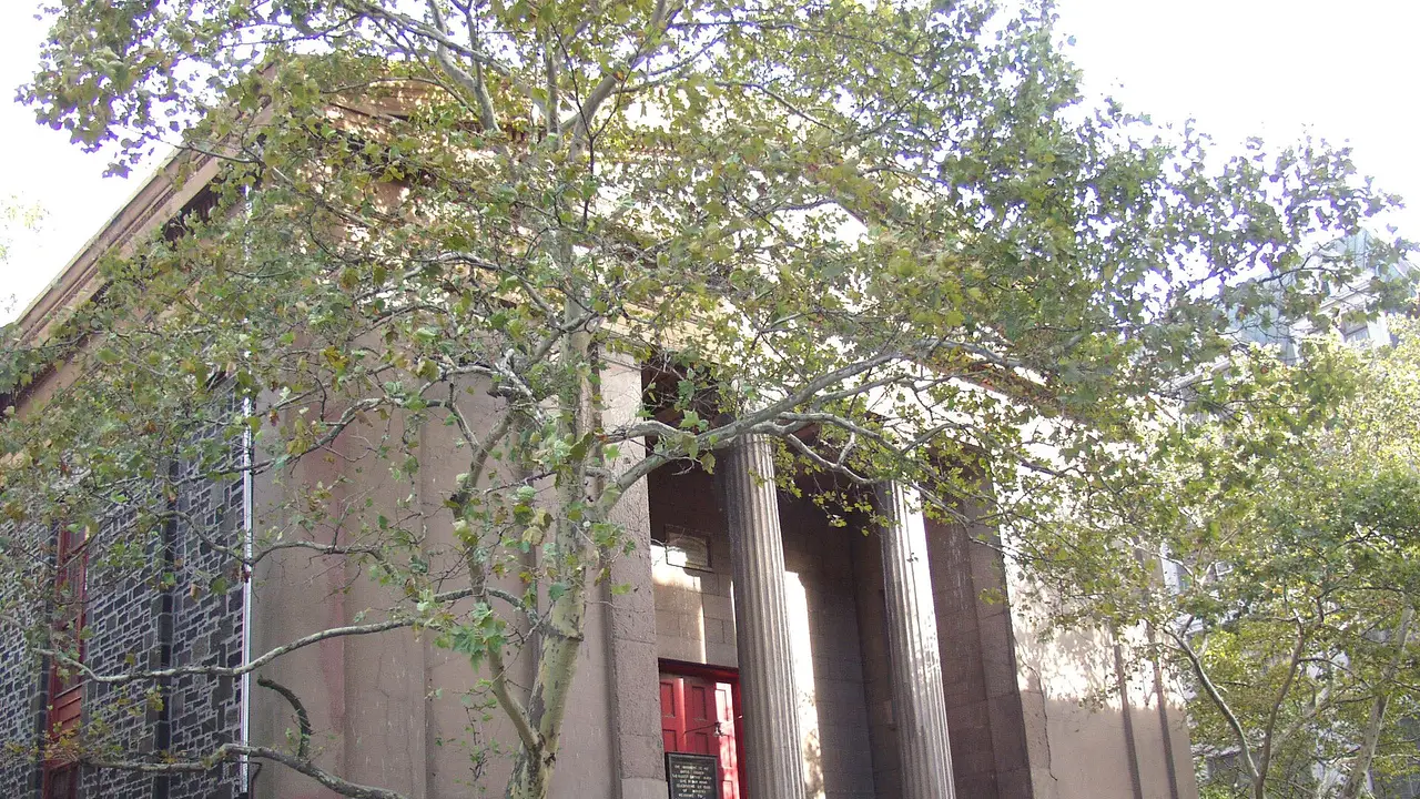
Unterwegs nach Statue of LibertyStaten Islund Ferry → Statue of Liberty 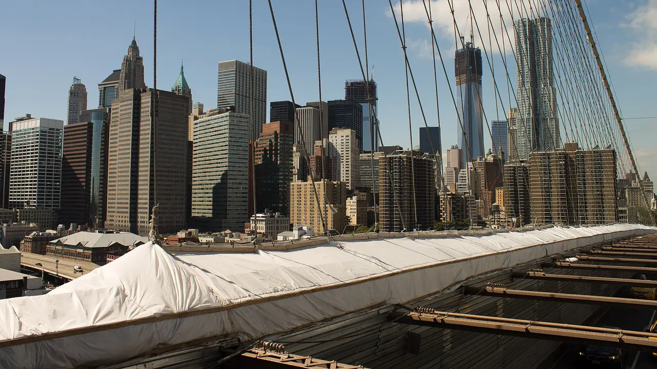
Unterwegs nach Wall StreetStatue of Liberty → Wall Street 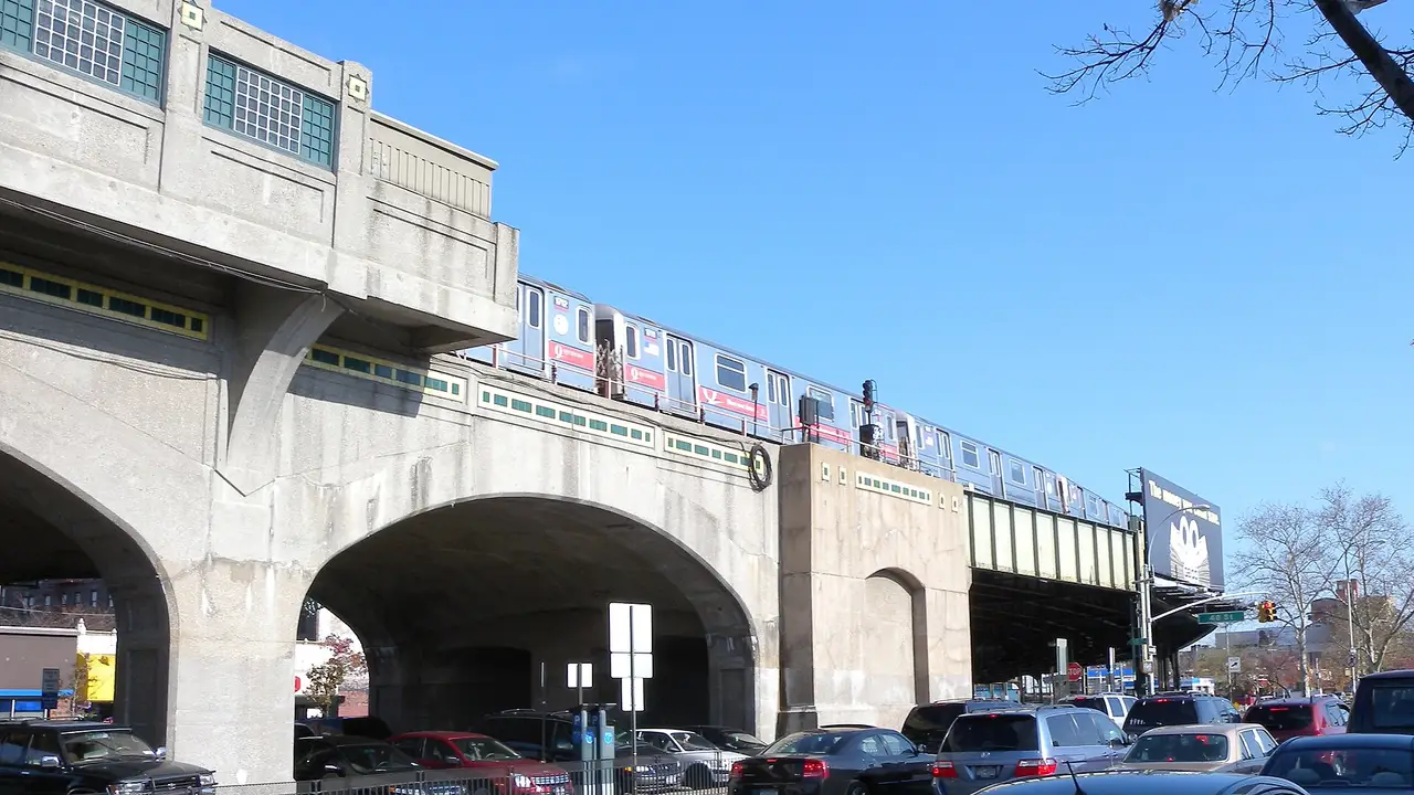
Unterwegs nach Brooklyn BridgeWall Street → Brooklyn Bridge 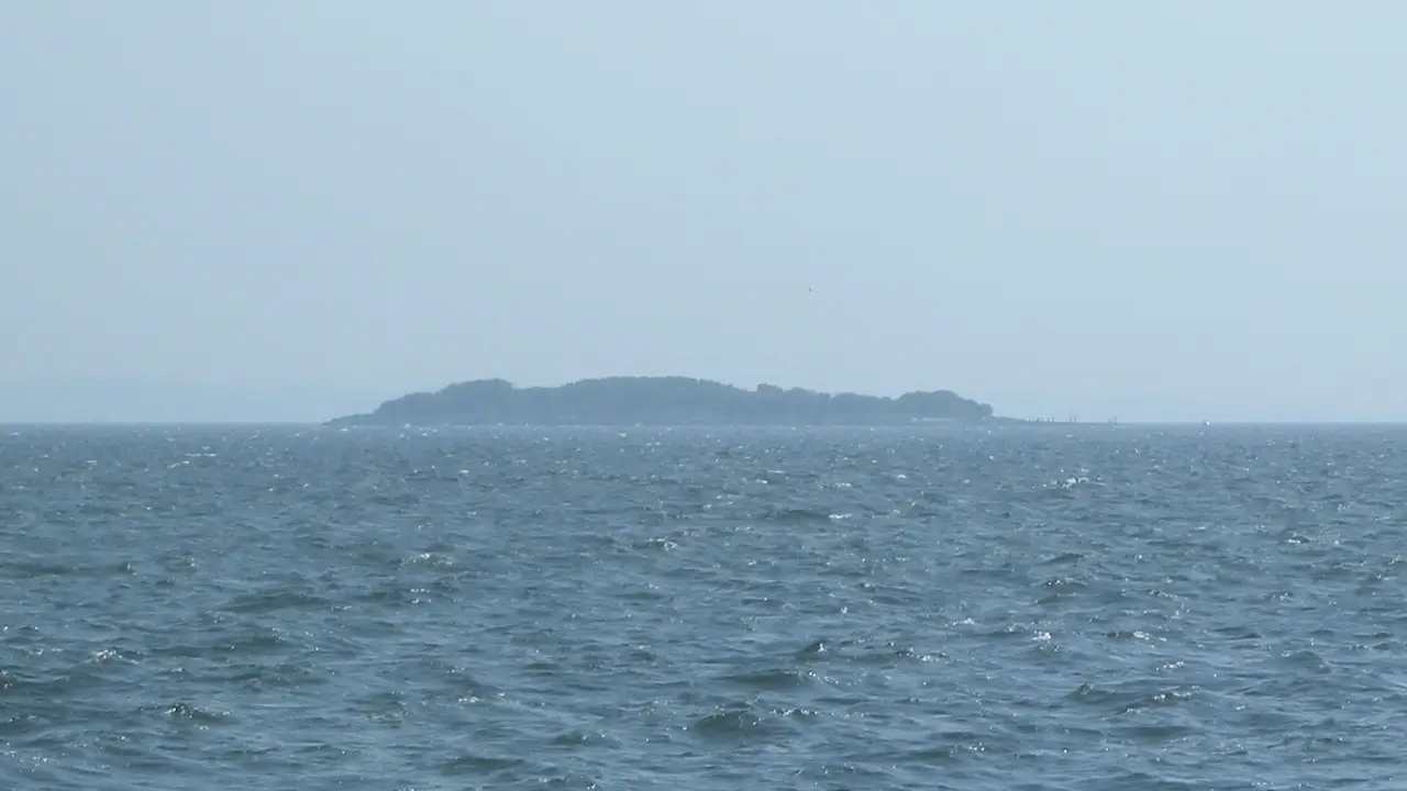
Unterwegs nach Coney IslandBrooklyn Bridge → Coney Island 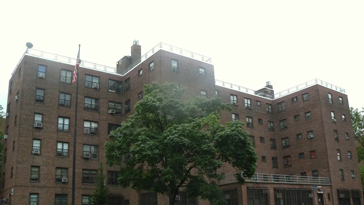
Unterwegs nach Flushing MeadowsConey Island → Flushing Meadows 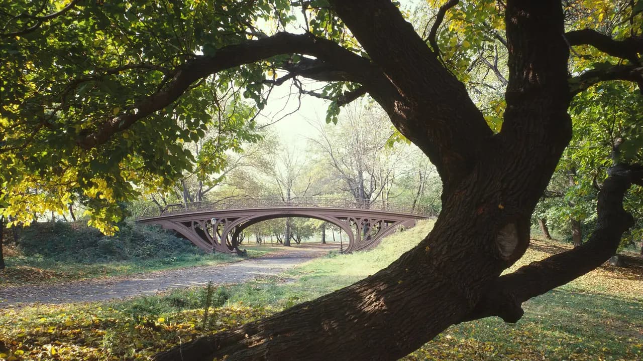
Unterwegs nach Yankee StadiumFlushing Meadows → Yankee Stadium 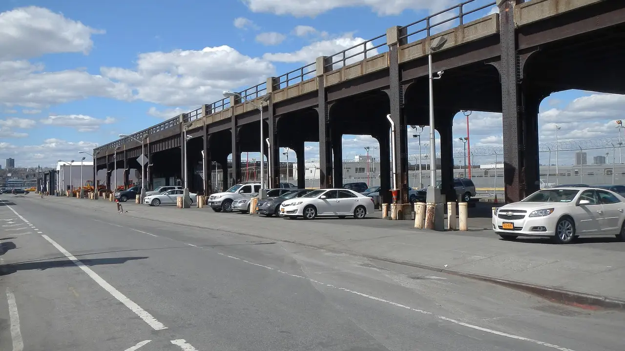
Unterwegs nach Times SquareYankee Stadium → Times Square